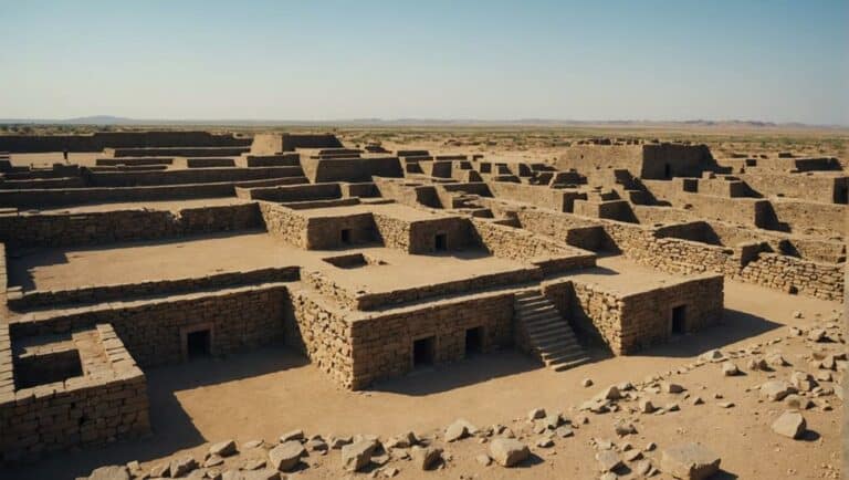
Nestled in Gujarat's Kachchh Desert Wildlife Sanctuary, Dholavira stands as a testament to the advanced urban planning and water management of the Indus Valley civilization.
Recognized as a UNESCO World Heritage site, its well-preserved ruins offer a fascinating glimpse into ancient societal structures and sustainable living practices.
Location and Geography
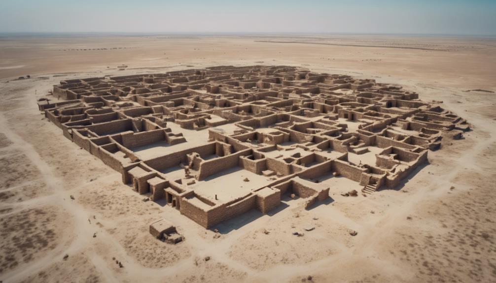
Situated in Bhachau Taluka of Kachchh District, Gujarat, India, Dholavira offers a compelling case study in ancient urban planning due to its strategic location on the Khadir bet island between the seasonal streams of Mansar and Manhar. As an archaeological site, Dholavira provides invaluable insights into the ingenuity of the Indus Valley Civilization. Nestled within the Kachchh Desert Wildlife Sanctuary and precisely positioned on the Tropic of Cancer, its geographical placement is both unique and advantageous.
The site's division into three parts—Raj Mahal, officers' habitat, and common town dwellers' houses—reflects a well-thought-out societal structure. This division facilitated efficient administration and resource distribution. By situating themselves between the seasonal streams of Mansar and Manhar, the inhabitants ensured a reliable water supply, essential for sustaining life in the arid Kachchh District. This strategic placement also provided natural defenses against invaders and environmental challenges.
Moreover, being on the Tropic of Cancer, Dholavira experiences significant solar exposure, which could have influenced its architectural designs and community planning. The careful selection of this location underscores the advanced understanding of geography and environmental adaptation by the ancient settlers, making Dholavira a remarkable archaeological site worthy of detailed study.
Historical Significance
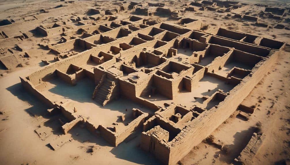
You'll find Dholavira's historical significance particularly compelling when you examine its role in Indus Valley trade. Its strategic location facilitated extensive trade networks. The city's mastery of urban planning is evident in its well-organized layout, highlighting advanced techniques of urban development.
Additionally, Dholavira's innovative water management systems underscore a high level of technological ingenuity and adaptation to the harsh environment. These sophisticated systems demonstrate the civilization's ability to thrive in challenging conditions.
Indus Valley Trade
Dholavira's strategic location as a major trade center of the Indus Valley Civilization underscores its pivotal role in fostering economic prosperity and cultural exchange across Western Asia, Sindh, Punjab, and Gujarat. The city's involvement in extensive trade routes not only facilitated the movement of goods but also promoted interaction among diverse cultures.
By examining artifacts like beads, jewelry, and pottery discovered at Dholavira, you can see clear evidence of the city's commercial activities and its connections to far-off regions such as the Persian Gulf and Mesopotamia.
Dholavira's trade networks were vast, indicating a well-organized system that supported its economic growth. The exchange of commodities wasn't limited to material goods; it also included ideas, innovations, and cultural practices, enriching the civilization's cultural tapestry. For instance, the presence of Mesopotamian seals in Dholavira suggests a direct line of communication and trade, reflecting the city's strategic importance.
Urban Planning Mastery
The ancient city of Dholavira exemplifies exceptional urban planning, showcasing advanced techniques in water management, fortifications, and spatial organization. As one of the largest Indus Valley cities, Dholavira's layout includes distinct zones such as the Raj Mahal, officers' habitats, and common dwellers' houses, reflecting a high level of societal structure and planning.
Dholavira's urban planning mastery is evident in several aspects:
- Fortified Structures: The city's robust walls and fortified castle underscore its strategic defense mechanisms.
- Ceremonial Grounds: Thoughtfully designated spaces for public gatherings and ceremonies highlight the city's cultural and social priorities.
- Sophisticated Water Management: The strategic location between seasonal streams and the construction of reservoirs and channels illustrate advanced techniques for sustaining the city's water needs.
- Street Layout: The well-organized grid pattern of streets and thoroughfares indicates meticulous planning and efficient movement within the city.
Water Management Systems
In exploring the historical significance of Dholavira's water management systems, you can appreciate how their advanced hydraulic engineering and innovative conservation methods secured sustainable living and agricultural productivity in a challenging semi-arid environment. The city showcased a remarkable mastery of urban planning through its sophisticated reservoirs and channels designed for efficient water storage and distribution.
Dholavira's water management wasn't just about survival; it was an exemplary model of resource management. The city's complex network of reservoirs and draining systems demonstrated a profound understanding of seasonal water fluctuations. These structures guaranteed a stable water supply for both agricultural and domestic purposes, reflecting the Indus Valley Civilization's deep knowledge of their environment and its limitations.
City Layout
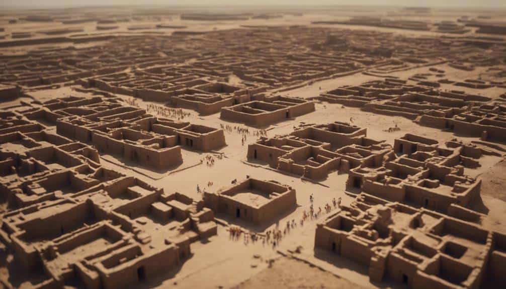
Explore the intricate city layout of Dholavira, which consists of three distinct sections: the formidable Raj Mahal, the organized officers' habitat, and the practical homes of common town dwellers. This fortified city demonstrates an impressive level of planning and architecture that speaks volumes about ancient urban living.
The Raj Mahal, surrounded by strong fortifications with four gates, exemplifies defensive architecture. Its strategic positioning between two seasonal streams, Mansar and Manhar, reflects a sophisticated understanding of water management.
The officers' habitat, marked by protective walls and multiple rooms, showcases the city's organized structure and hierarchical society.
The common town dwellers' houses, constructed from brick, provide a glimpse into the daily lives of the majority of Dholavira's inhabitants. Their layout and design offer valuable insights into the practical aspects of ancient urban living.
- Raj Mahal: Defensive architecture and strategic positioning.
- Officers' habitat: Organized and hierarchical.
- Common homes: Practical and insightful.
- Water management: Strategic use of natural resources.
Archaeological Discoveries
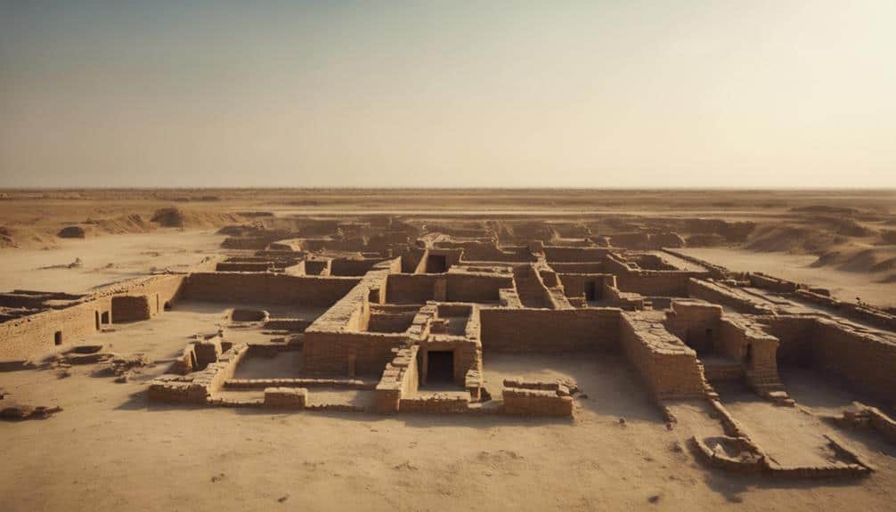
Uncovering Dholavira's archaeological treasures offers a window into the rich cultural and technological tapestry of the Harappan civilization. As the 6th largest Harappan city among over 1,000 known archaeological sites, Dholavira reveals impressive urban planning and sophisticated water harvesting systems.
You'll find evidence of advanced craftsmanship in the bead processing workshops, where the Harappans meticulously worked with copper, shell, stone, and semi-precious stones. The discovery of gold and ivory artifacts further underscores their artistic prowess.
Dholavira's cemetery, with its six types of cenotaphs, provides unique insights into their perceptions of death and afterlife. This diversity in funerary practices speaks volumes about the social and cultural dimensions of the Harappan people.
Additionally, the site's artifacts indicate extensive trade networks, linking Dholavira to distant lands like Mesopotamia and Oman. This trade facilitated the exchange of not only goods but also ideas and technologies, enriching the Harappan city's culture.
Through these discoveries, you'll appreciate how Dholavira exemplifies the ingenuity and resourcefulness of the Harappan civilization, particularly in areas of urban design, water management, and artisanal craftsmanship. Each artifact and structure you examine helps piece together the story of a vibrant and interconnected ancient world.
UNESCO Inscription
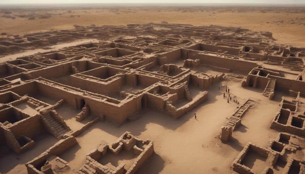
On July 27, 2021, Dholavira earned its place on the UNESCO World Heritage Sites list, highlighting its significance as one of the best-preserved and largest Harappan sites of the Indus Valley Civilization. This UNESCO inscription emphasizes Dholavira's remarkable archaeological and historical value, showcasing its advanced urban planning and water conservation systems.
The recognition by UNESCO underscores several key aspects:
- Preservation: Dholavira is one of the best-preserved ancient Harappan sites, with its city walls and various structures remaining largely intact.
- Importance: As one of the five largest Harappan sites, Dholavira offers critical insights into the Indus Valley Civilization's urban planning and lifestyle.
- Chronology: The site's occupation dates from around 3500 BCE to 1800 BCE, indicating a long and continuous habitation.
- Excavation: The Archaeological Survey of India began excavations in 1990, revealing Dholavira's sophisticated infrastructure and elaborate water management systems.
The UNESCO inscription not only highlights Dholavira's historical importance but also places it on an international platform, encouraging further archaeological research and tourism.
For those keen on understanding ancient Harappan life, Dholavira stands as a tribute to human ingenuity and resilience. By exploring its layout and artifacts, you gain a deeper appreciation for one of the world's earliest urban centers.
Conservation Efforts
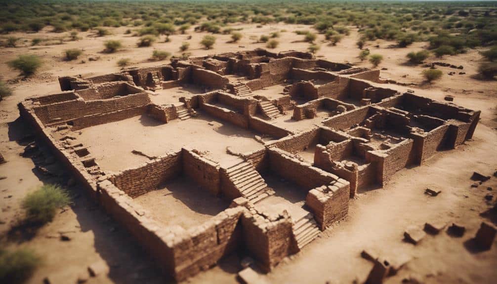
When you look at Dholavira's conservation efforts, you'll notice a structured approach driven by the Regional Apex Committee. Preservation strategies, including the Prohibited and Regulated Areas, protect the site's physical attributes, while local stakeholders play an essential role in maintaining its integrity.
The Archaeological Survey of India enforces the Site Management Plan, ensuring that community engagement initiatives effectively support these preservation measures.
Preservation Strategies Implemented
Dholavira's preservation strategies emphasize strict zoning regulations, including a 100-meter Prohibited Area and a 200-meter Regulated Area, to safeguard the site's physical attributes. These measures are vital in maintaining the integrity of Dholavira's urban planning and water management systems, which are key aspects of its historical significance.
The Regional Apex Committee oversees the management of Dholavira, ensuring that preservation strategies are meticulously followed. You'll find that the Archaeological Survey of India plays a central role in this process, having developed a thorough Site Management Plan. This plan is designed to conserve the architectural elements and the overall Outstanding Universal Value of the site.
To keep you interested, here are some key preservation strategies:
- Strict Zoning Regulations: Protects the site from encroachment and modern alterations.
- Active Local Stakeholder Involvement: Ensures that preservation efforts are community-driven.
- Conservation of Urban Planning: Maintains the original layout and structure of the ancient city.
- Preservation of Water Management Systems: Protects the ancient reservoirs and channels, highlighting advanced engineering skills.
Community Engagement Initiatives
Community engagement initiatives at Dholavira actively involve local stakeholders in conservation efforts, fostering a collective sense of responsibility and ownership towards preserving the site's historical heritage. By participating in activities such as site maintenance, guided tours, and cultural programs, the local community directly contributes to the preservation and promotion of Dholavira.
These initiatives go beyond mere involvement. They include extensive training programs, workshops, and capacity-building exercises aimed at sustainable management. For instance, workshops on archaeological site maintenance equip the community with the skills needed to care for the site effectively. Training programs also educate locals on the historical importance of Dholavira, enhancing their appreciation and commitment to its preservation.
Evidence shows that such community engagement boosts the overall effectiveness of conservation efforts. When local stakeholders understand the site's significance, they're more likely to take proactive measures to protect it. This participatory approach not only guarantees the site's longevity but also strengthens community ties and cultural identity.
Ultimately, these initiatives underscore that sustainable conservation isn't a solitary endeavor. It thrives on the active participation and dedication of local stakeholders, making Dholavira a model for community-driven heritage preservation.
Types of Architecture
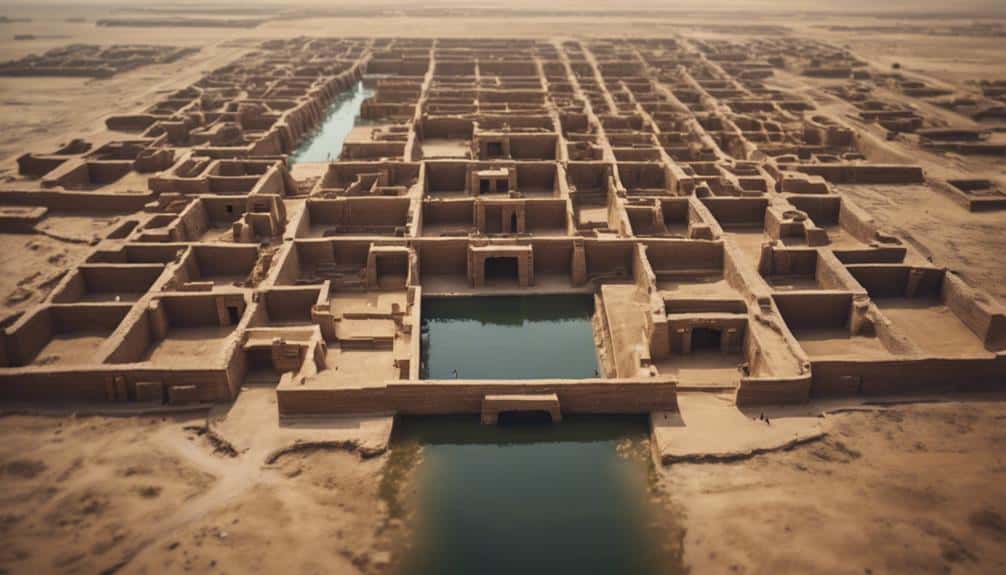
With its Citadel, Middle Town, and Lower Town divisions, Dholavira's architecture showcases a complex urban planning system tailored to different societal needs. The Citadel, positioned at the highest point, served as the administrative and elite center. Here, you'll find the Great Bath, a sophisticated structure indicative of advanced engineering and social rituals. The Citadel Gate, a grand entrance, underscores the importance of security and control within this pivotal area.
Dholavira's water management systems are another architectural marvel, reflecting an advanced understanding of hydraulic engineering. These systems included reservoirs and channels meticulously designed to conserve and distribute water efficiently, essential for survival in the arid region.
The Middle Town housed artisans and craftsmen, highlighting the city's economic activities. This area featured well-organized workshops and living quarters, emphasizing functionality and community structure.
In the Lower Town, residential zones were laid out with structured streets, showcasing a commitment to order and accessibility. This area provided insight into daily life and social organization.
- Great Bath: Indicative of advanced engineering and social rituals
- Citadel Gate: Highlights the importance of security and control
- Water management systems: Exemplify sophisticated hydraulic engineering
- Structured streets: Reflect commitment to urban order and accessibility
Visitor Information
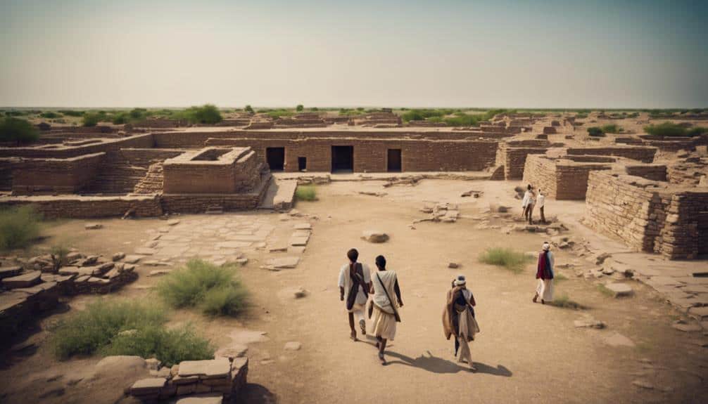
As you plan your visit to Dholavira, it's important to note that this archaeological site in Bhachau Taluka, Kachchh District, Gujarat, India, offers a well-preserved glimpse into the ancient Indus Valley Civilization. This site, locally known as Kotada Timba, is one of the five largest Harappan sites in India and spans from c.2650 BCE to c.1450 BCE.
When you arrive, you'll observe the advanced urban planning that characterizes Dholavira. The site is divided into three distinct areas: the Raj Mahal, which showcases the grandeur of the ruling class; the officers' habitat, indicating a well-organized administrative structure; and the common town dwellers' houses, reflecting everyday life. This tripartite layout is evidence of the sophisticated city planning of the Indus Valley.
Located right on the Tropic of Cancer, Dholavira provides valuable insights into how ancient civilizations adapted to their environment.
Prepare to explore an archaeological site that not only highlights ancient urban planning but also offers a detailed look into the social hierarchy and technological advancements of the time. Don't forget to bring water and sun protection, as the climate can be quite harsh.


