The first European encounters with Australia, led by explorers like the Dutch and British, unveiled its mysterious landscapes and diverse cultures, reshaping the continent's destiny.
Discover how these early expeditions transformed Australia from an isolated land to a key player on the global stage.
Early Pacific Voyages
Understanding the early Pacific journeys reveals how the Polynesian Lapita people migrated from Taiwan to the Pacific Islands, laying the foundation for future exploration. These migrations demonstrated an impressive navigational expertise that would later inspire European explorers.
When European explorers like Magellan and Drake set off on expeditions, they were drawn by the allure of a southern continent. This quest led to the mapping of previously unexplored territories.
The Dutch, among the first Europeans to venture into these waters, made significant discoveries. They navigated around the Cape York Peninsula and mapped parts of Australia. These early encounters were vital, as they provided new information about the southern lands. The Portuguese and Spanish also played essential roles in sighting various Pacific islands, further enriching the European understanding of the region.
Despite these advancements, early explorers faced challenges, particularly in measuring longitude accurately. This limitation often resulted in imprecise maps. However, their efforts sparked a lasting interest in the Pacific region, leading to more detailed explorations.
Dutch Discoveries
When you examine the contributions of early Dutch explorers, you'll find substantial evidence of their significant impact on mapping Australia.
Willem Janszoon's landing in 1606 marked the first European contact, followed by Dirk Hartog and others who meticulously charted the coastline.
These efforts, including Frederick de Houtman's mapping of the Abrolhos Islands and Peter Nuyts' work on the Nuyts Archipelago, played a pivotal role in the early cartographic documentation of New Holland.
Early Dutch Explorers
The early Dutch explorers made significant contributions to the mapping and understanding of Australia's coastline. Starting with Willem Janszoon's 1606 landing at the Pena River, he became the first recorded European to set foot on Australian soil. Janszoon's exploration connected New Guinea and Australia, charting the Torres Strait. This milestone in exploration paved the way for future expeditions, including James Cook's.
You can observe their impact through several key achievements:
- Willem Janszoon (1606): First European landing at the Pena River, marking the start of documented encounters with Indigenous Australians.
- Dirk Hartog (1616): Discovered Shark Bay on the west coast of Australia, leaving a plate that William de Vlamingh later found in 1697.
- Frederick de Houtman (1619): Charted the Abrolhos Islands, enhancing sea charts for future explorers.
- Peter Nuyts (1627): Mapped the Nuyts Archipelago, contributing to the Dutch understanding of South Australia's coastline.
These Dutch endeavors expanded Europe's knowledge of the Australian coastline, linking it to broader maritime routes via the Cape of Good Hope. They laid the groundwork for more systematic exploration, influencing later figures like James Cook.
Understanding these early efforts helps appreciate the complexity and scope of European exploration in the region.
Mapping New Holland
Dutch explorers meticulously charted the western coastline of Australia, known then as New Holland, laying the groundwork for future navigational maps and deepening Europe's geographic understanding of the region. Early explorers like Willem Janszoon and Dirk Hartog were instrumental in this process. Janszoon's 1606 expedition resulted in the first European landing and charting of roughly 300 km of the Australian coastline. His findings set the stage for subsequent explorations.
Dirk Hartog's 1616 landing at Shark Bay further solidified Dutch interest in the region. Hartog left a commemorative plate on what became Dirk Hartog Island, marking a significant milestone in Dutch exploration. His records, along with those of other early explorers, were essential for Dutch cartographers.
Hessel Gerritsz, a prominent Dutch cartographer, utilized these records to create maps that expanded Europe's geographic knowledge of New Holland. The Dutch East India Company (VOC) supported these explorations, focusing on geographic knowledge and potential trade routes.
Despite limited interest in the region due to the absence of profitable resources, the meticulous mapping efforts by Dutch cartographers provided valuable insights into the Australian coastline and laid a foundation for future navigational endeavors.
British Expeditions
Captain James Cook's expeditions laid the groundwork for extensive mapping and exploration of Australia's coastline. British expeditions, beginning with Cook, marked a pivotal point in understanding and charting the vast continent. Subsequent explorers built on this foundation, furthering both mapping and exploration efforts.
- Matthew Flinders and George Bass: In the late 18th century, Flinders and Bass conducted detailed coast surveys and circumnavigated parts of Australia, greatly enhancing knowledge of its geography.
- Gregory Blaxland, William Lawson, and William Wentworth: These explorers crossed the Blue Mountains in 1813, which was a crucial milestone, opening up the interior for further exploration and settlement.
- John McDouall Stuart: In 1862, Stuart led a successful expedition traversing Central Australia from south to north, solidifying routes that would later become vital for inland development.
- Legacy of British Expeditions: The collective achievements of these explorers included significant mapping, the discovery of new territories, and the establishment of routes that facilitated colonization and resource exploitation.
These efforts weren't just about mapping; they also paved the way for future exploration and had a profound impact on the continent's development. The precision and dedication of these British expeditions are evident in their lasting contributions to Australia's history.
Mapping Australia
When you examine the history of mapping Australia, you'll notice significant contributions from early Dutch explorers and later British cartographers.
The Dutch, led by figures like Melchisédech Thévenot and Abel Tasman, first charted Australia's coastlines in the 17th century.
Later, British efforts built upon these foundations, enhancing geographical knowledge and shaping modern maps.
Early Dutch Discoveries
In 1606, Willem Janszoon made history by becoming the first European to set foot on Australian soil, marking the beginning of a series of Dutch explorations that greatly advanced the mapping of the continent's coastlines. The Dutch explorers' efforts in the 17th century were instrumental in revealing Australia's vast and varied coastal geography.
- Willem Janszoon: As the first European to land in Australia, Janszoon's voyage along the western side of Cape York Peninsula set the stage for future explorations.
- Dirk Hartog: In 1616, Hartog discovered and mapped parts of the western coast, leaving behind a famous inscribed plate at Dirk Hartog Island.
- Abel Tasman: Tasman's expeditions in 1642 and 1644 mapped significant portions of Australia's northern and western coasts, highlighting the continent's expanse.
- Dutch Cartographers: Figures like Thijssen and Gerritsz, through their detailed maps, compiled invaluable data from these explorations, solidifying Dutch contributions to cartographic knowledge.
The Dutch East India Company (VOC) played a pivotal role, prioritizing geographic knowledge and efficient trade routes. These 17th-century Dutch explorers and cartographers' efforts laid foundational knowledge that enabled broader European engagement with Australia's geography.
British Cartographic Contributions
British mapmakers, through meticulous and strategic efforts, greatly advanced the understanding of Australia's geography in the late 18th and early 19th centuries. James Cook's exploration and detailed charts of the eastern Australian coastline marked a pivotal shift in European understanding. His precise mapping efforts, particularly around Botany Bay, laid the groundwork for future settlements and trade routes. Sir Joseph Banks, who accompanied Cook as a botanist, played a vital role by recommending Botany Bay as a prime location for settlement, thereby linking scientific exploration with practical applications.
Matthew Flinders furthered Cook's work by conducting a full circumnavigation of Australia. His detailed mapping efforts provided an unprecedented view of the continent's geography. Flinders' charts corrected many inaccuracies from previous maps, solidifying a more accurate European understanding of Australia's vast and varied coastline.
These British cartographic contributions were instrumental in shaping early European perceptions and knowledge. By providing detailed and accurate maps, Cook, Flinders, and other mapmakers enabled more systematic exploration and facilitated the establishment of settlements. Their work underscored the importance of precise geographical knowledge in expanding European reach and influence in the Southern Hemisphere.
Key Explorers
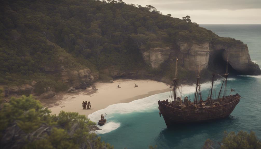
Dutch explorers like Willem Janszoon, Dirk Hartog, and Abel Tasman played pivotal roles in the early European mapping and understanding of Australia's coastlines. These adventurers, sponsored by the Dutch East India Company (VOC), were instrumental in the exploration of Australia during the 17th century.
Willem Janszoon:
In 1606, Janszoon made the first European landing on Australia's western coast. This historic event marked the beginning of European encounters with the continent.
Dirk Hartog:
Hartog's 1616 landing in Shark Bay was another notable milestone. He left behind a pewter plate inscribed with details of his voyage, which remains a remarkable artifact of early exploration.
Abel Tasman:
Tasman's voyages in 1642 and 1644 made significant contributions to the mapping of Australia's coastlines. He circumnavigated much of the continent, charting its northern and southern regions extensively.
VOC Explorers:
Collectively, these Dutch explorers thoroughly examined Australia's coastlines, providing the first detailed European maps and observations of the region. Their efforts laid the groundwork for future explorations and interactions.
Indigenous Interactions

Early encounters between Indigenous Australians and European explorers were pivotal in shaping the nature of subsequent interactions on the continent. Indigenous Australians had already established extensive trade networks with nearby islanders, indicating a complex and sophisticated society well before European arrival. These networks facilitated the exchange of goods, ideas, and cultural practices, showcasing a high level of adaptability and resilience.
Oral histories from Indigenous communities suggest notable integration with stranded Dutch sailors along the Western Australian coastline. These stories reveal that the Indigenous Australians weren't only aware of the presence of white people but also interacted with them in meaningful ways. In particular, encounters inland of the Swan River in 1834 point to possible Dutch influence, reflecting a form of cultural exchange that went beyond mere curiosity.
Initial interactions with European explorers like Willem Janszoon set the stage for these encounters. There's speculation that marooned Dutch sailors could have formed small, unofficial Dutch colonies, further complicating the narrative of Indigenous-European interactions.
Such interactions were unquestionably shaped by both parties' intentions and circumstances, laying the groundwork for a unique and multifaceted history on the Australian continent.
Legacy and Impact
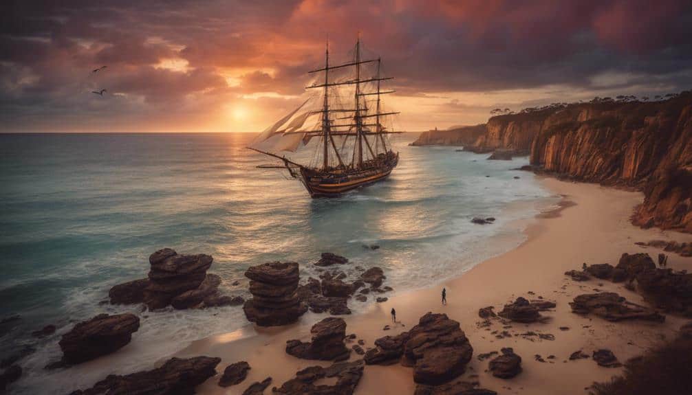
Exploration by European navigators in the 17th and 18th centuries profoundly shaped Australia's historical trajectory, influencing its mapping, cultural exchanges, and eventual colonization. Dutch explorers like Willem Janszoon, Dirk Hartog, and Abel Tasman left an indelible legacy through their early explorations and encounters.
The impact of these European encounters is multifaceted:
- Coastline Mapping: Early explorations by Janszoon and Hartog led to the first detailed maps of Australia's coastline, providing vital information for future navigators.
- Cultural Exchanges: Interactions with indigenous populations, although often fraught, introduced Europeans to new cultures and laid the groundwork for future relationships, however complex.
- Foundation for Colonization: The initial mapping and understanding of the continent spurred further interest, leading to British colonization in the late 18th century.
- Legacy of Exploration: The pioneering efforts of Tasman, Hartog, and Janszoon set the stage for subsequent explorers and influenced the European perception of the vast and mysterious land.
These early exploration efforts didn't just fill in blank spaces on a map; they fundamentally altered the course of Australia's history, shaping its path from an isolated continent to a key player in global history.


